This post was originally published on here
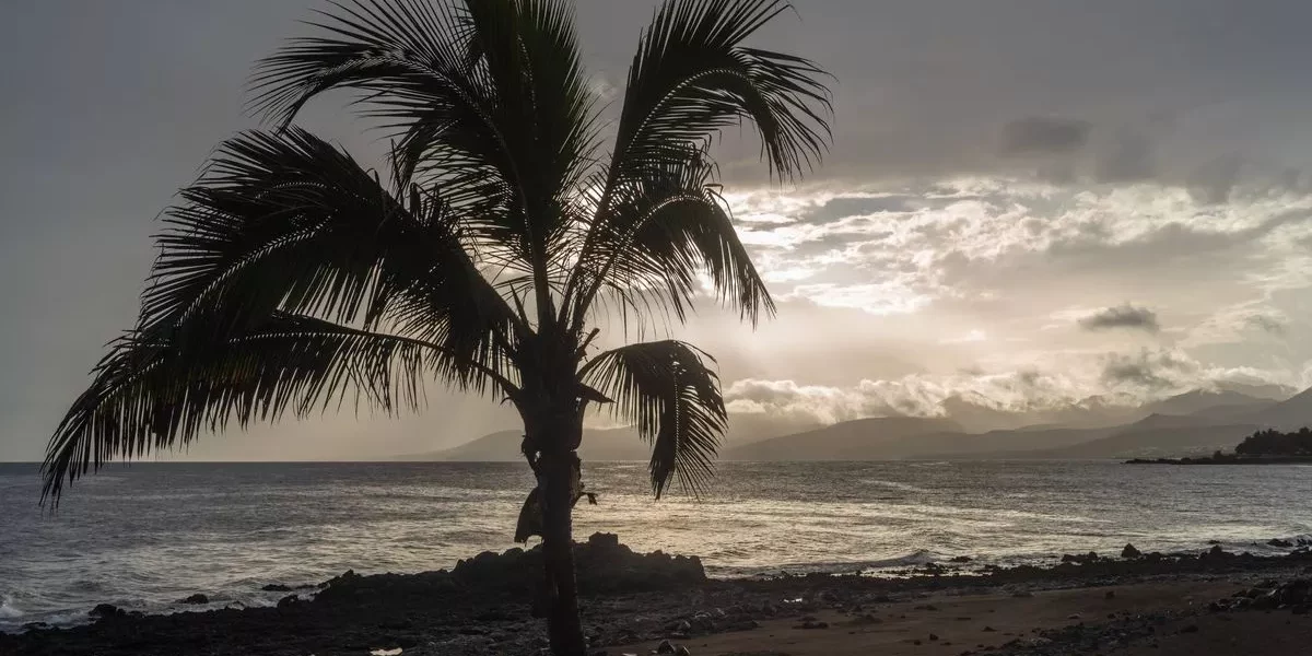
A Lanzarote resident showed current weather conditions after the AEMET warned Storm Francis is expected to bring strong gusts, heavy thunderstorms and even snow to the Canary Islands
Irish tourists travelling to the Canary Islands have been cautioned about Storm Francis, which is forecast to deliver powerful winds, torrential thunderstorms and even snowfall to the area.
Nevertheless, a resident in Lanzarote has expressed bewilderment over these warnings. Mr Travelon has posted on TikTok to demonstrate the actual conditions currently experienced in Lanzarote.
Whilst the popular holiday destination has been somewhat windy, the weather falls far short of the severe conditions he anticipated following all the alerts. The expat, positioned on the beach beneath clear blue skies, questioned: “Where’s this storm Francis? Because it hasn’t arrived yet in Lanzarote.”
The resident was sporting sunglasses whilst delivering his update. Despite donning a fleece, he wasn’t requiring a heavy winter coat as it’s been around 14 degrees in the holiday hotspot today.
He went on: “It was meant to arrive New Year’s Day, we were meant to be seeing the new year in with a storm. Seas looking a little bit choppy, there’s a red flag up there saying ‘do not swim’ and I certainly wouldn’t be getting in that today. But is the storm here… it’s about 14 degrees!”
The travel enthusiast then gave viewers a look at the island, including a glimpse of a nearby swimming pool. Sharing more about the weather conditions on January 2, he added: “It is definitely a little bit breezy and the sun is coming up just over there.
“The trees are blowing so we’ve definitely got some sort of medium storm on the way, but they did say it’s possibly going to pass quite quickly. Will it be a pool day today? I doubt it. But that dark cloud is looking like it might start raining.”
From Mr Travelon’s video, it appears that the weather in Lanzarote is far more pleasant than what we’re currently experiencing over here!
This prompted some to chime in with their own experiences. One jested: “It never happened.” Meanwhile, another commented: “Think it came in overnight! 2am lightning, very windy but it’s sunny and warm! Tonight will be nippy.”
Before you get too excited, there is still a possibility that the storm may strike later today or in the coming days. For that reason, holidaymakers are advised to keep an eye on weather forecasts.
The AEMET elaborated: “Due to the high level of uncertainty regarding the evolving situation and the potential impact on outdoor activities in the coming days, close monitoring of forecast updates is recommended.
“Today, Storm Francis is expected to affect the Canary Islands, bringing southwesterly winds to coastal areas with very strong gusts, as well as locally heavy and persistent thunderstorms that will move from west to east throughout the day and into the early hours of tomorrow.
“Strong winds will persist in exposed areas and mid-altitude zones until the middle of the 3rd. On the Iberian Peninsula, after a few days of relative stability with scattered showers in the Cantabrian region and the western third of the peninsula, increased instability is likely from the 3rd onwards in areas of the southern and southeastern thirds, with showers that could be locally heavy and persistent in areas of the Gulf of Cádiz, the Strait of Gibraltar, the Costa del Sol, and Cabo de La Nao.
“On the 4th and 5th, the potential interaction with the cold air mass could bring snowfall to mid- to low-lying elevations in the southeastern quadrant of the Iberian Peninsula, with the highest probability and accumulations expected in the eastern Iberian System, the eastern part of the southern plateau, the mountain ranges of the Valencian Community, and the area around the Baetic System. It is possible that snowfall will extend, with less intensity, to other areas of the Iberian System, the central peninsula, and the northeastern third of the peninsula. Additionally, snow showers are expected at mid-elevations in the Cantabrian area.
“From the 6th onwards, the most likely scenario is that precipitation will decrease in intensity and extent in southern areas, although it could still be locally heavy in the Strait of Gibraltar and Melilla, while snowfall will become restricted to mountainous areas, especially in the northern third of the peninsula.”


