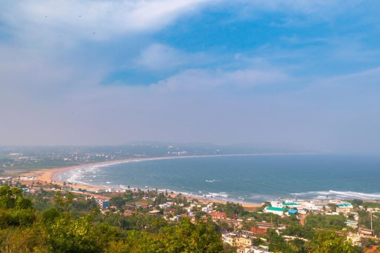
New research led by NOAA’s Pacific Marine Environmental Laboratory reveals unusual ocean surface currents in the Bay of Bengal that defy traditional models by moving to the left of surface winds.
This finding, derived from long-term buoy data, holds implications for various scientific domains including climate studies, marine ecosystems, and disaster response strategies.
New Research on Ocean Currents
A core principle of modern oceanography is that ocean surface currents on Earth are influenced by the planet’s rotation, deflecting to the right of the winds in the Northern Hemisphere and to the left in the Southern Hemisphere.
This principle, introduced by Swedish oceanographer Vagn Walfrid Ekman in 1905, holds true globally but comes with complexities. Recent research led by NOAA’s Pacific Marine Environmental Laboratory (PMEL) has uncovered an intriguing exception. In the Bay of Bengal, data from a long-term moored buoy revealed surface currents flowing to the left of the winds—an unexpected deviation from established models.
Applications of the New Discovery
According to Michael McPhaden, a senior scientist at PMEL and lead author of the study, this discovery has broad implications. It could enhance understanding of weather and climate variability, marine biogeochemical cycles, ecosystem behavior, and fisheries management.
“This research opens a window into an aspect of wind-forced ocean circulation that has been rarely observed and is poorly understood,” McPhaden said. “It will help scientists understand when an ocean current may veer in a direction opposite to what they expect. That will also have real-time applications for situations that call for search-and-rescue or oil spill response.”
The findings were published in the journal Science Advances.

Research Findings and Future Implications
In the paper, the research team, which included scientists from the Indian National Center for Ocean Information Services, the Kerala University of Fisheries and Ocean Studies, and the University of Zagreb, Department of Geophysics describes a surface flow in the Bay of Bengal captured by multiple years of hourly data from a buoy deployed a few hundred miles off the east coast of India.
The finding is timely because this knowledge could help analysis of observations from a proposed new NASA satellite mission to simultaneously measure surface winds and ocean currents at high resolution over the global ocean, called Ocean Dynamics and Surface Exchange with the Atmosphere. The flows described in the new paper will be a prominent feature of the high frequency satellite retrievals, particularly in the tropics where the effect of Earth’s rotation on ocean circulation is relatively weak.
The moored buoy used in this study is maintained by India’s National Institute of Ocean Technology, one of many buoy systems in the Indian National Ocean Moored Buoy Network for the Northern Indian Ocean. This effort is coordinated with the parallel multi-national program led by NOAA and its partners, referred to as RAMA, short for the Research Moored Buoy Array for African-Asian-Australian Monsoon Analysis and Prediction. These buoy systems provide Indian Ocean data for weather, climate and fisheries applications, and especially for monsoon forecasting.
“One third of the world population depends on monsoon-driven rainfall for agricultural production, so improving our understanding and ability to predict the monsoons has been a longstanding objective of the international scientific community,” McPhaden said.
Reference: “Ekman revisited: Surface currents to the left of the winds in the Northern Hemisphere” by Michael J. McPhaden, K. Athulya, M. S. Girishkumar and Mirko Orlić, 13 November 2024, Science Advances.
DOI: 10.1126/sciadv.adr0282
This post was originally published on here


