

This post was originally published on here
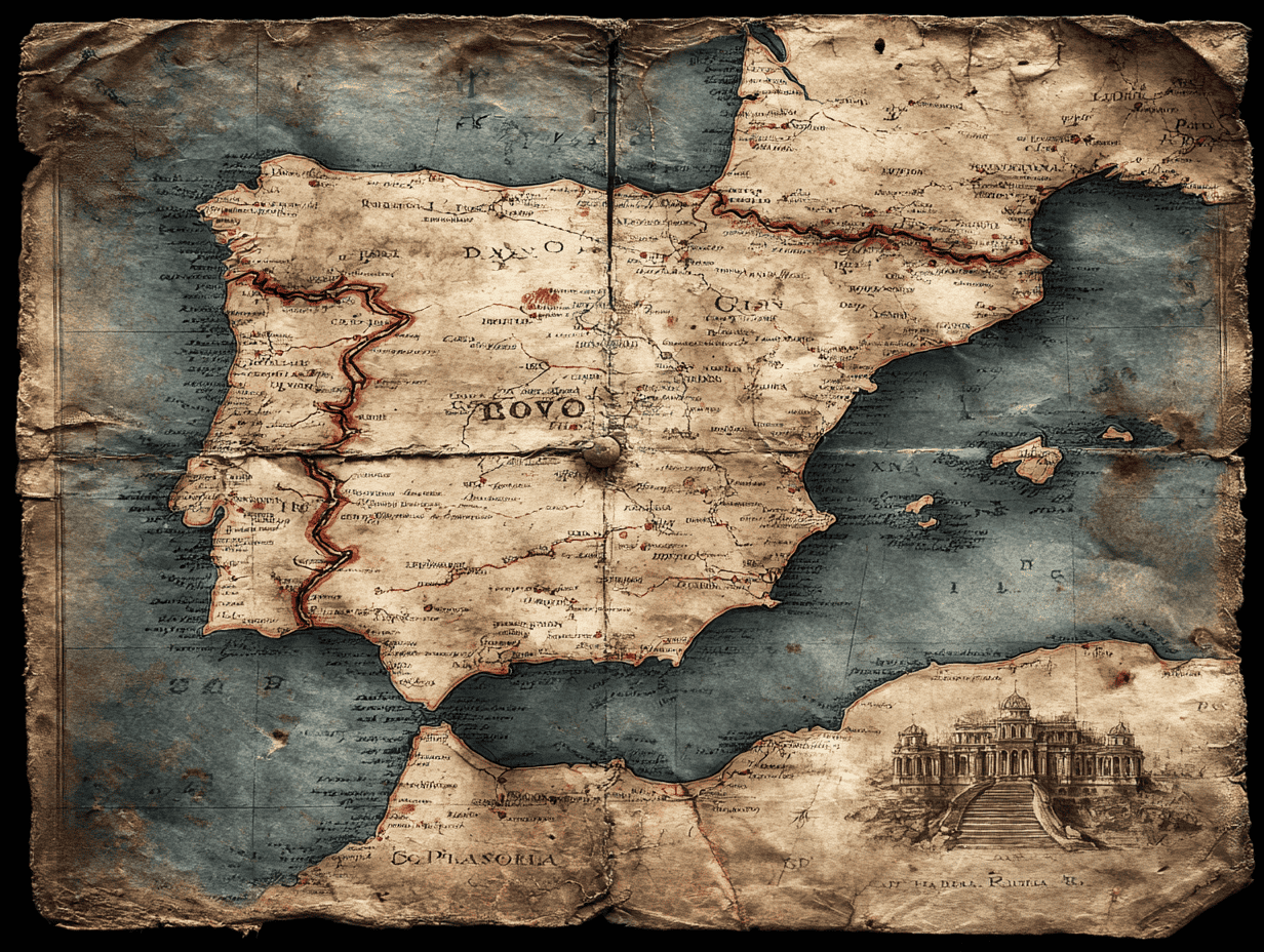
The Iberian Peninsula — that massive piece of Europe holding Spain and Portugal — is not the static landmass we imagine. It’s rotating clockwise at a pace too small for humans to feel, yet large enough to reshape how scientists understand earthquake risk across southwestern Europe and North Africa.
The slight rotation of the peninsula is due to the colossal and chaotic collision between the African and Eurasian tectonic plates. Where those plates meet, the crust does not behave as a single clean boundary. Instead, it bends, absorbs stress in some places, and transfers it in others, twisting all of Iberia in the process.
The displacement was measured and mapped in detail, thanks to a study that stitches together two different ways of “seeing” the Earth move: the tiny jolts of earthquakes and the almost imperceptible drift detected by satellites.
A Blurred Plate Boundary Between Europe and Africa

Textbook diagrams often show tectonic plates meeting along neat, well-defined lines. That works for mid-ocean ridges or deep subduction zones. South of Iberia, the reality is a bit messier.
Africa and Eurasia are converging at a rate of about 4 to 6 millimeters per year. That’s roughly the speed fingernails grow. In the Atlantic Ocean and along the Algerian coast, the boundary between the plates is relatively clear. Near southern Spain and northern Morocco, it dissolves into a wide zone of interacting blocks, folded mountain belts, and hidden faults.
Key to this geological dynamic is the Alboran domain, a fragment of Earth’s crust beneath the western Mediterranean. This block is sliding westward and shaping the curved mountain chain known as the Gibraltar Arc, which links Spain’s Betic Cordillera to Morocco’s Rif Mountains.
Until now, that blur has made it difficult to pin down how stress actually moves through the region.
The Complication of Gibraltar
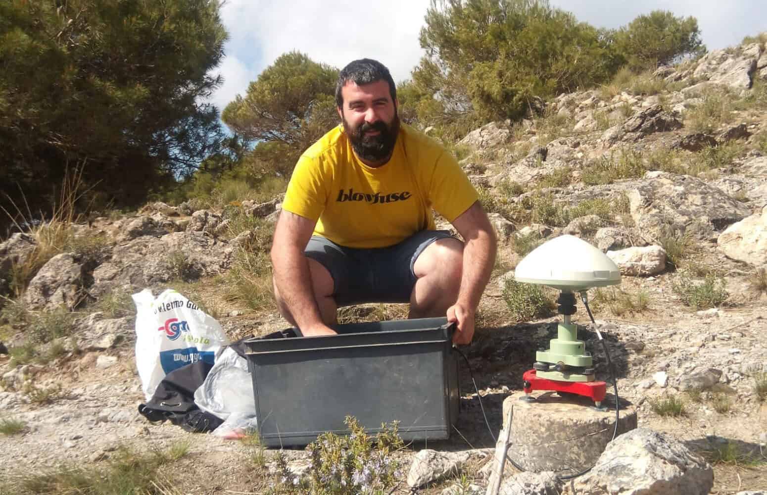
The new study, led by Asier Madarieta, a geologist at the University of the Basque Country, tackles the problem by combining two massive datasets. One comes from earthquake records — specifically, the geometry of fault motion during seismic events, which reveals the directions of stress deep in the crust. The other comes from hundreds of GPS stations, which track how Earth’s surface shifts by fractions of a millimeter each year.
Together, these data show that the plate boundary behaves very differently on either side of the Strait of Gibraltar.
East of the strait, the crust of the Gibraltar Arc acts like a buffer. It absorbs much of the stress produced by the Africa–Eurasia collision. West of the strait, that buffer fades. There, Iberia runs headlong into Africa.
“To the east of the Straits of Gibraltar the crust of the Gibraltar Arc is absorbing the deformation caused by the Eurasia-Africa collision,” Madarieta said. “On the other hand, to the west of the Straits of Gibraltar the direct collision between the Iberia (Eurasia) and Africa plates is taking place.”
That uneven push is what gives Iberia its slow spin.
The satellite data confirm it: southern and southwestern Iberia are moving differently from the north. The peninsula is thus deforming and rotating clockwise, nudged from below and from the side by an asymmetric collision.
A Slow Rotation with Real Consequences
At human speed, this motion feels irrelevant. At earthquake speed, it matters.
The same stress fields that drive Iberia’s rotation also decide where faults lock and where they slip. Some parts of the peninsula show clear deformation or frequent earthquakes, yet the responsible faults remain invisible at the surface.
“There are many places where there is a significant deformation or where earthquakes occur, but we don’t know which tectonic structures are active there,” Madarieta noted. “These stress and deformation fields tell us where we have to go to look for these structures.”
That guidance is critical in regions like southwestern Iberia, where seismic risk is real but poorly mapped. The most famous reminder came in 1755, when a massive earthquake offshore of Lisbon — estimated at magnitude 8.7 — devastated the city and sent tsunamis across the Atlantic. Smaller but damaging earthquakes have followed since, scattered across a boundary that refuses to behave neatly.
The new maps help narrow the search.
Progress and Caution
By identifying where stress is being transferred rather than absorbed, the study points researchers toward hidden faults that could generate future earthquakes. This information feeds directly into efforts like the Quaternary Active Fault Database of Iberia, which aims to catalogue structures capable of slipping today.
Yet the researchers are careful not to oversell the findings. Modern seismic records extend back only a few decades, while high-resolution satellite measurements began around 1999.
“These data only provide a small window on geological evolution,” Madarieta said. Plate tectonics unfolds over millions of years. What scientists see now is a snapshot, a fleeting glimpse of a much longer story.
Still, it is the clearest glimpse yet. And while the land may feel solid underfoot, it is, and always has been, on the move.
The findings appeared in the journal Gondwana Research.


