This post was originally published on here
In the summer of 2025, a massive 8.8-magnitude earthquake struck off the coast of Russia’s Kamchatka Peninsula. While that is not one of the five largest earthquakes ever recorded, that is still impressively powerful. That earthquake triggered a tsunami that spread across the Pacific Ocean, and NASA’s new SWOT satellite captured the monster wave in detail.
The SWOT satellite, short for Surface Water and Ocean Topography, only recently launched in 2022. This earthquake is the largest the satellite has captured to date. Using data from it and deep-ocean tsunami buoys, researchers were able to map the earthquake’s rupture zone, which stretched roughly 250 miles and lifted parts of the seafloor by up to 13 feet. The satellite was able to capture how the tsunami waves changed as they traveled, giving scientists an in-depth model to learn from.
The research into this event was published in The Seismic Record in November 2025. The publication highlights how dangerous megaquakes can be, and shows how satellites like SWOT are transforming scientists’ ability to understand, track, and predict tsunamis.
Advertisement
Advertisement
Read more: What’s Happening To Earth Right Now Can’t Be Explained By Climate Models
Details of how the giant tsunami was observed
SWOT satellite imagery of the 2025 tsunami – BEST-BACKGROUNDS/Shutterstock
Satellites have transformed the way we study our planet and give us rare glimpses into events that happen in the ocean that humans may not be on sight to witness, such as this record-breaking wave. To figure out exactly how the 2025 Kamchatka tsunami formed and spread, scientists combined data from National Oceanic and Atmospheric Administration’s (NOAA) tsunami warning system and NASA’s SWOT satellite.
The NOAA system, known as DART (Deep-ocean Assessment and Reporting of Tsunamis), uses sensors anchored to the seafloor that can detect changes in water pressure. It then sends that data to surface buoys and satellites in almost real time. When the Kamchatka quake struck, several of these stations immediately switched into high-alert mode, capturing the tsunami as it moved away from the source.
The research team focused on the closest sensors, filtering out normal ocean tides so they could work backward and estimate how the seafloor actually shifted during the earthquake. At the same time, SWOT passed over the region and recorded a 75-mile-wide strip of ocean surface, capturing the tsunami’s shape and motion from space in high resolution. Processing the data allowed scientists to clearly see the tsunami’s waves and how they spread and dispersed despite how quickly the tsunami was moving.
What this means for tsunami science
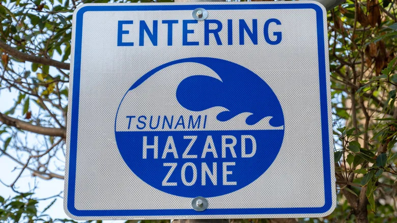
an Entering Tsunami Hazard Zone warning sign – Smith Collection/gado/Getty Images
Earthquakes and their resulting tsunamis may be even more dangerous than we thought, and this data offers key insights to help us learn and prepare for these events. What made this event even more interesting is that its data could be compared to a 9.0 magnitude earthquake in the exact same area that happened in 1952 that involved the same fault zone.
Advertisement
Advertisement
Comparing the two quakes, scientists deduced that the 1952 earthquake didn’t release all the built-up stress in the fault, leading to this latest earthquake. Since these quakes happened so close together, it challenges long-standing hazard models that expect massive earthquakes to be separated by hundreds of years. Scientists were also able to analyze where the two quakes happened, with the older one being closer to the seafloor and the newer one deeper underground, and how that impacts the size of the tsunami on the ocean surface. Though both prompted evacuations, the 2025 tsunami did not cause the damage the 1952 one did.
The SWOT satellite also shows it can revolutionize real-world response to tsunami emergencies as it can provide data quickly. The underwater buoy system working in tandem with the satellite has proven reliability in tracking tsunami waves. Scientists are now looking to the future of how this system can work with coastal warning systems and help the public safely respond to giant tsunamis.
Enjoyed this article? Sign up to BGR’s free newsletter and add us as a preferred search source for the latest in tech and entertainment, plus tips and advice you’ll actually use.
Read the original article on BGR.